 SafeContractor approved

What is Drain Mapping?
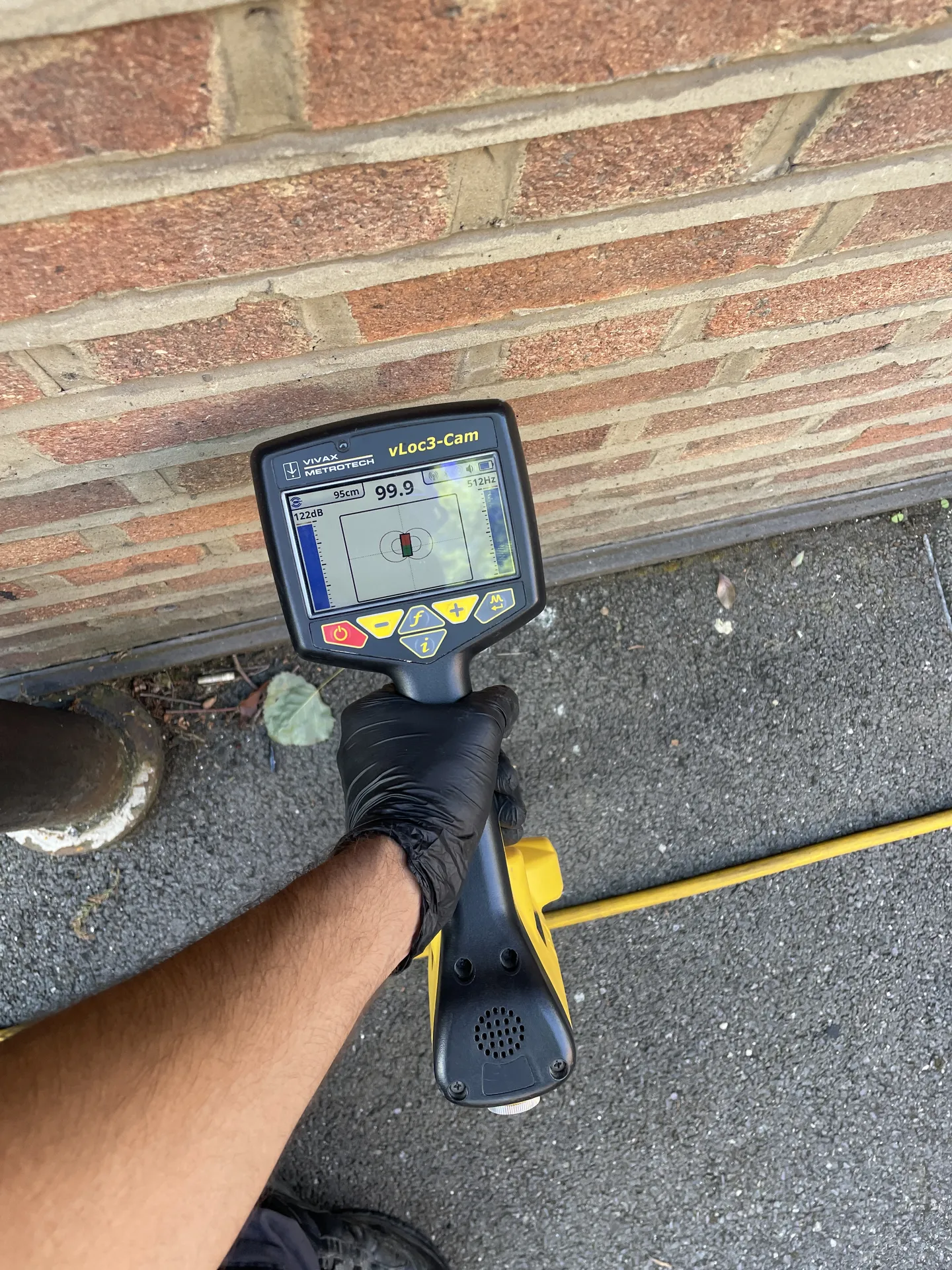
Drain mapping shows exactly where your drains run, how deep they are, which way they flow and how they connect. We trace the pipes using CCTV cameras and tracing equipment. Tracing equipment lets us follow each pipe from above ground and mark its route and depth, even beneath driveways, gardens and buildings. We then produce clear schematic drawings and site plans of the drainage layout.

Many property owners assume a drain plan already exists. Water companies do keep records of public sewers, but private drains within your boundary are rarely recorded anywhere. Drain mapping fills that gap.
When You Need a Drain Map
A drain map is invaluable whenever you need certainty about what is underground:
- Planning an extension or building close to an existing drain
- Applying for a build over agreement with your water company
- Buying or selling a property with unknown drainage
- Tracing misconnections, where foul water runs into a surface water drain or the other way round
- Managing multiple properties or a commercial site
- Before landscaping, laying a new driveway or digging foundations
In each case, knowing the layout upfront avoids costly surprises once work begins.